 To see a larger image, check the link to source in the following chapter.
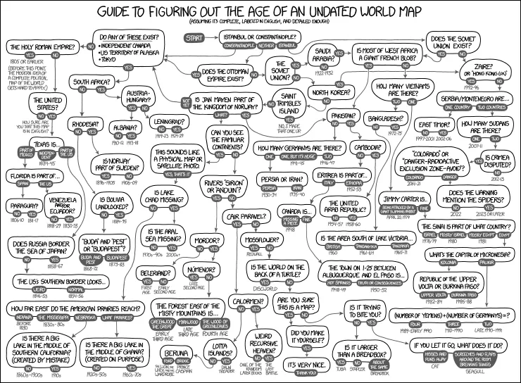
Do you have a world map that you’re not sure when it was done? xkcd: Map Age Guide is a great guide that can help you out.
It’s a flowchart that asks questions about presence of countries, nature features and other elements so you can follow the chart to a range of years when that map would be accurate.